


Anatolia
23 Minute
Noah’s Ark Search: SCU’s 2026 Durupınar Research

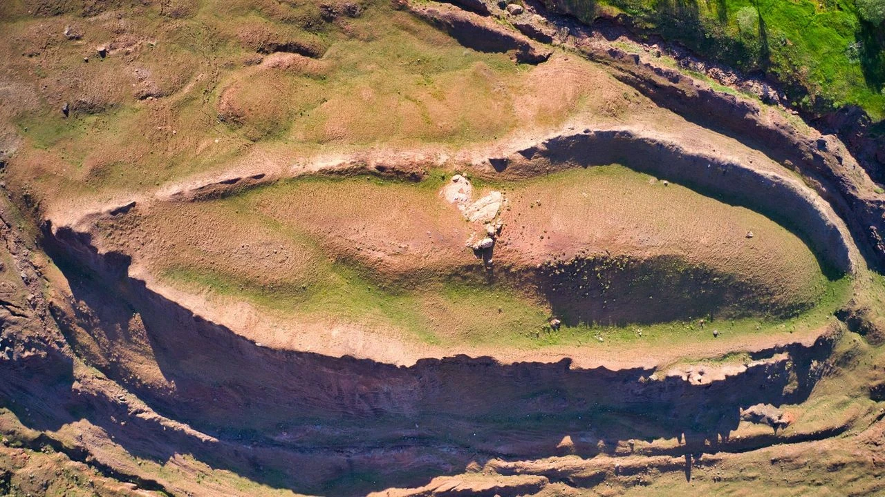
For decades, people have linked a boat-shaped landform in eastern Türkiye with Noah’s Ark. This site is the Durupınar formation. It lies near Üzengili village in Doğubayazıt district, Ağrı Province.
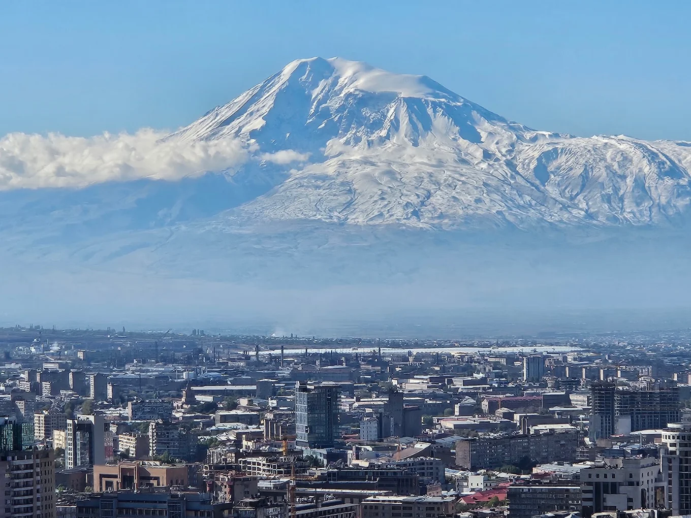
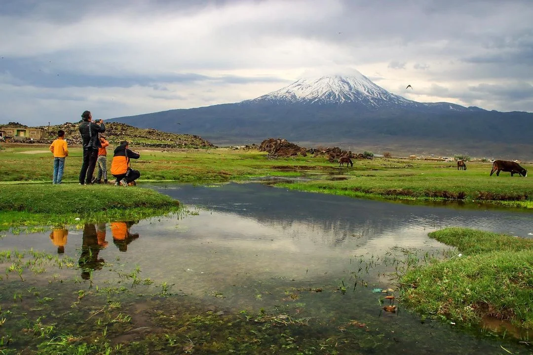
According to Anadolu Agency’s September 2026 report, the site lies roughly 29 kilometres south of Mount Ağrı’s summit. Also known as Mount Ararat, the mountain stands near the Iranian border. The formation’s shape first drew public interest. However, researchers have not confirmed a shipwreck.
The project partner’s historical summary traces the debate to aerial survey images from 1959. These images revealed the formation’s outline. The site takes its name from Turkish military cartographer İlhan Durupınar.
Since then, visitors and Ark-search groups have seen possible traces of a vessel in its shape and reported underground patterns. Geologists, however, have offered natural explanations.
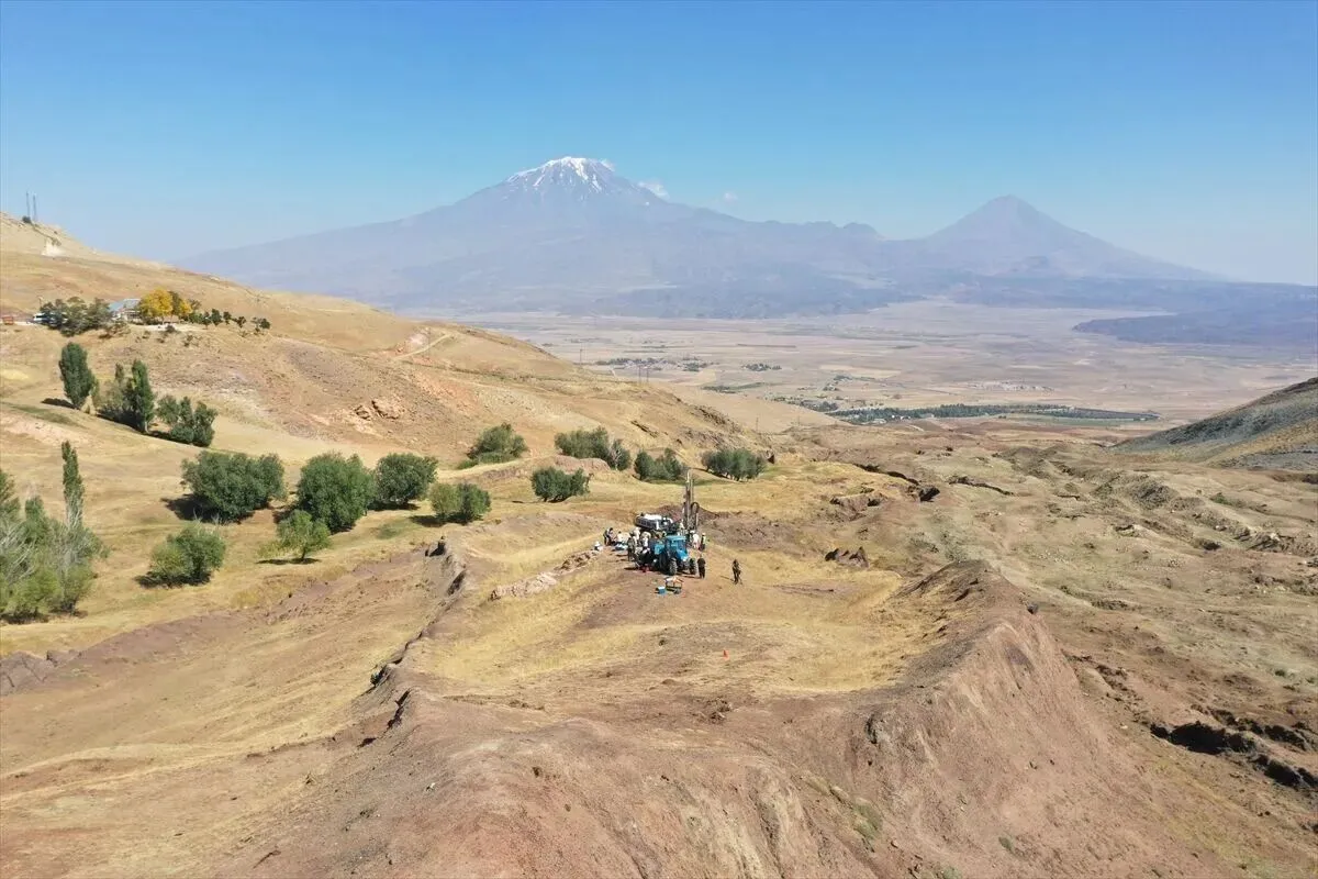
In 2026, Sivas Cumhuriyet University (SCU) began an international study with government approval. The team uses mapping, underground surveys and core samples to test the long-running claim. As of 30 September 2026, the research has not confirmed that the formation is Noah’s Ark.
What SCU’s 2026 project is doing
SCU calls its study the Durupınar Formation Geological Research Project. Professor Cenker Atila, from the university’s Department of Archaeology, leads the team.
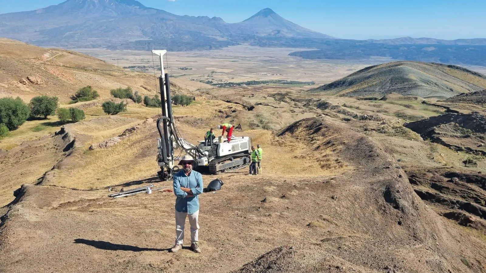
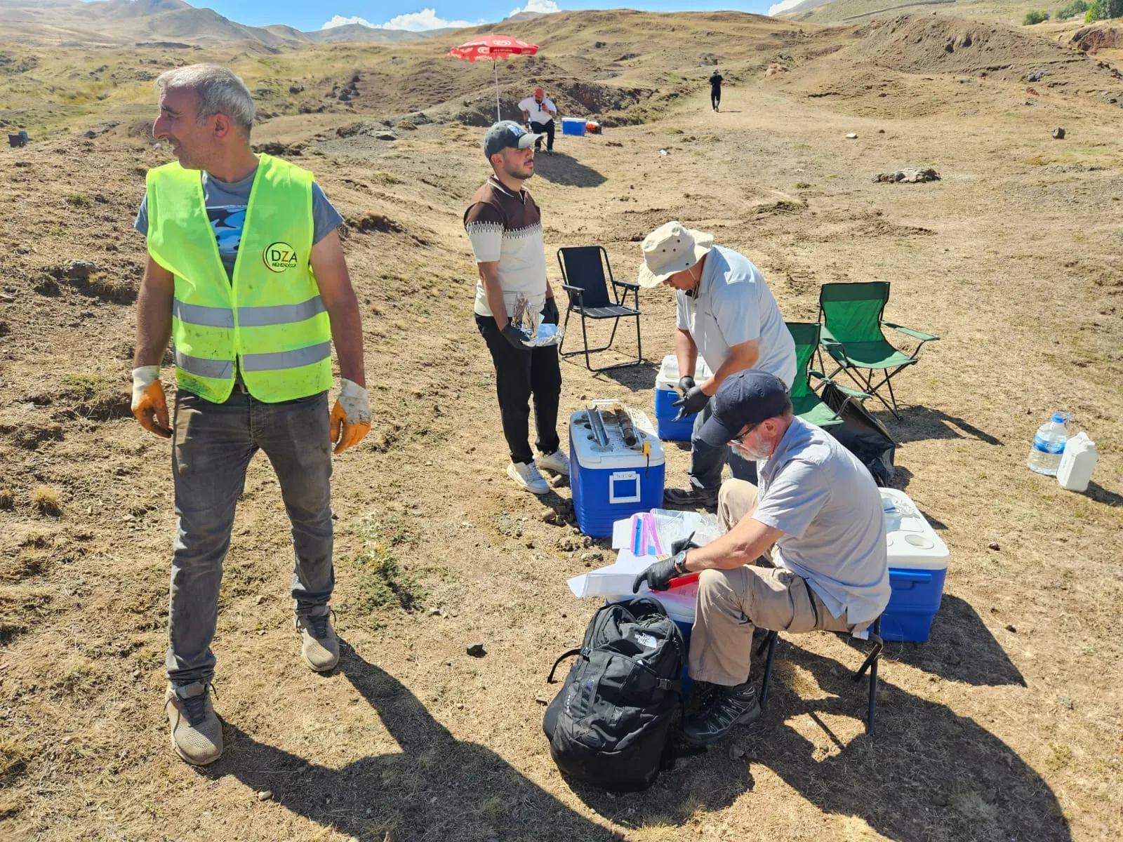
The Erzurum Regional Directorate of the Ministry of Environment, Urbanization and Climate Change approved the project. According to SCU, about 20 specialists from five countries joined the fieldwork. The season ran from late June to 11 September 2026.
News reports often call the work “excavations.” However, the methods described for 2026 mainly involved surveys and sampling. The team reports using:
- High-resolution mapping, LiDAR and GPS measurements.
- 2D and 3D models of the site.
- Ground-penetrating radar (GPR) and electrical resistivity tomography (ERT).
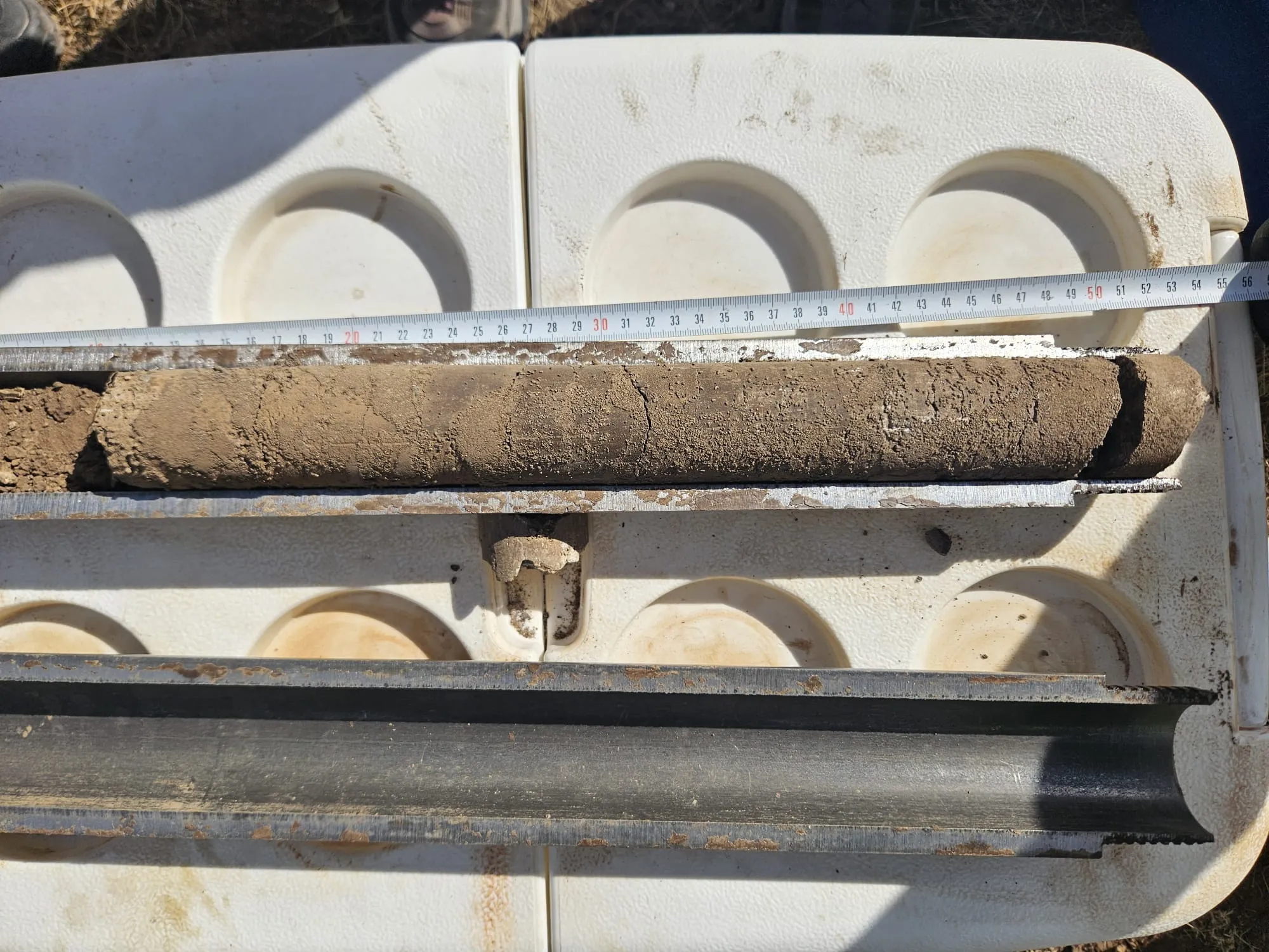
In addition, the team collected 366 core samples from depths of about 1 to 15 metres. It sent them to Ankara Yıldırım Beyazıt University for carbon-isotope analysis and dating.
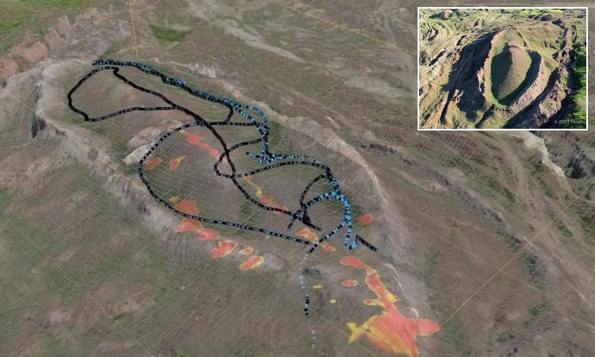
SCU’s September 28 announcement reports radar surveys reaching geological layers up to 70 metres deep. However, the announcement did not include detailed technical data or a peer-reviewed report. The depth remains the university’s reported figure.
According to the project partner, any excavation would follow the underground surveys and core drilling. So far, the public record shows no open trench revealing a hull, deck or rooms.
SCU says evaluation and reporting will continue into 2027. Meanwhile, Atila told Anadolu Agency that laboratory tests could take two to three months. These are separate stages. The team may share early lab results before it completes the full report.
What has been reported so far—and what it means
On August 28, SCU reported radar patterns with straight edges, right angles and possible empty spaces. The team suggested that these might fit corridors or compartments. It also reported about 40 percent more carbon in samples from inside the formation than outside. That announcement mentioned roughly 1,000 soil samples.
However, the September update lists 366 core samples. The releases do not explain the difference. The counts may refer to different sample types or collection stages. Therefore, they should not be added together or treated as one confirmed total.
Why the laboratory tests matter
A geophysical anomaly is a change in a measured signal. It does not prove that a room exists underground.
Likewise, higher carbon levels may suggest organic material. They do not show that the material is wood, came from a vessel or has a particular age. Researchers need lab tests, reliable dating and evidence showing how the material relates to the site.
Anadolu Agency’s Teyit Hattı interviewed Atila on September 26. Its report said the team had found no wood remains, nails or other clearly human-made objects. It also said no findings from the current work had yet appeared in a peer-reviewed journal.
The report mentioned claims of ceramic fragments and radar features. The team interpreted some features as a central corridor and angular structures. However, no published scientific study has established their age, origin or connection to the formation.
Atila called headlines claiming the Ark was “100 percent found” misleading. Similarly, a September 28 fact-check by Teyit rejected the discovery claim. Analyses were still ongoing.
The project partner’s interpretation
The project works with Noah’s Ark Scans, which promotes the possible Ark interpretation. The organization reports earlier GPR and ERT scans. It also describes soil tests that reportedly found more organic matter inside the formation.
Its research page calls these results “suggestive, not conclusive.” They remain the partner’s reported observations and interpretations. They do not independently confirm a ship.
The geological debate
At least two published studies offer natural explanations for the boat-like outline.
In 1996, Lorence Collins and David Fasold published a study in the Journal of Geoscience Education. They interpreted the feature as an eroded doubly plunging syncline, a fold in rock layers. They argued that mineral deposits could explain the supposed metal fittings. In their view, the material described as fossilized wood was rock.
A 2007 paper in the Bulletin of Engineering Geology and the Environment proposed another explanation. Geologist Murat Avci described a large block of Miocene limestone moving downhill over weaker Eocene clays. He argued that earthflow, glacial meltwater and limestone dissolution then reshaped it.
Although the papers differ on the details, both explain the shape through geology. The 2026 survey may provide new data to test these models. However, new radar patterns alone do not overturn earlier research. Specialists need to examine the methods, results and surrounding rock before drawing conclusions.
What the religious texts say about the location
Some accounts link the site to both the Bible and the Qur’an. However, the texts name different places.
- Genesis 8:4 says the Ark rested on the “mountains of Ararat.”
- Hûd 11:44 in the Qur’an names Mount Judi (Cûdî) as the vessel’s resting place.
Neither verse names Durupınar. Linking this landform to either location is therefore an interpretation of the texts.
Even if researchers find an ancient human-made structure, they must date it and assess its evidence. Such a discovery would not, by itself, establish the scale of the flood described in religious tradition.
What would count as convincing evidence?
A strong case needs more than a boat-like outline, radar patterns or differences in soil chemistry. Researchers would need to:
- Find clear remains of a human-made structure in their original setting.
- Identify the materials and date them using suitable methods.
- Publish the data so independent specialists can check the findings and test the interpretation.
If tests find organic material, its age would date that material. It would not automatically date a ship, the landform or the flood story.
For now, SCU has completed its major 2026 survey and core-sampling season. Laboratory work and reporting continue. The observations deserve study, but the public results do not yet demonstrate a human-made vessel. Nor do they overturn the published geological explanations. The Ark claim remains unconfirmed.
Plan a journey to the Durupınar area
Would you like to explore the landscape around Doğubayazıt and its links to the Noah’s Ark story? Get in touch with us to plan a journey to the Durupınar area. Together, we can shape the itinerary around your interests, travel dates and pace.
Tagged with :