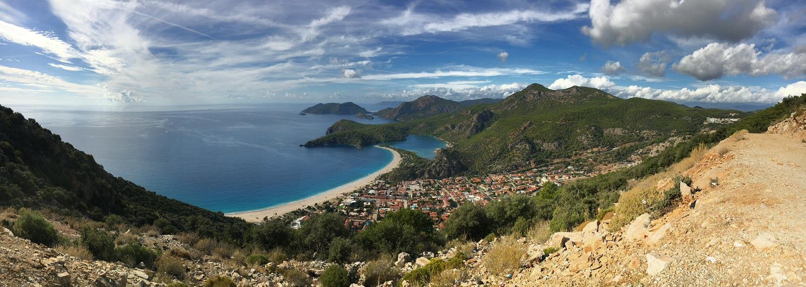
Stretching along Türkiye’s Mediterranean coastline between Fethiye and Antalya, the Lycian Way is the country’s first and most established long-distance trekking route. Depending on the chosen variations, the trail measures between 540 km and 760 km, crossing mountains, coastal cliffs, forests, and some of the most important archaeological sites of ancient Lycia.
It is not a single continuous wilderness path. It is a network of marked footpaths that connect villages, ruins, and dramatic landscapes — and that flexibility makes it accessible for different types of travellers.
How the Lycian Way Was Created
The modern Lycian Way was conceived and waymarked in the 1990s by Kate Clow, a British-Turkish travel writer who settled in Türkiye. Fascinated by the network of ancient shepherd and trade routes still visible in the region, she spent years mapping and marking the paths.
The trail officially opened in 1999, becoming Türkiye’s first long-distance hiking route. What began as a passion project gradually evolved into an internationally recognised trekking destination. Over the past decade, its visibility has increased significantly through global hiking publications and travel media, and today approximately 30,000 hikers walk sections of the route annually — the majority international visitors.
Despite its popularity, the Lycian Way has retained its rural and authentic character.
Understanding the Route
The Lycian Way runs through the historical region of Lycia, passing coastal towns such as:
- Ölüdeniz
- Kaş
- Kalkan
- Demre
However, large parts of the trail are far from main roads. Sections alternate between:
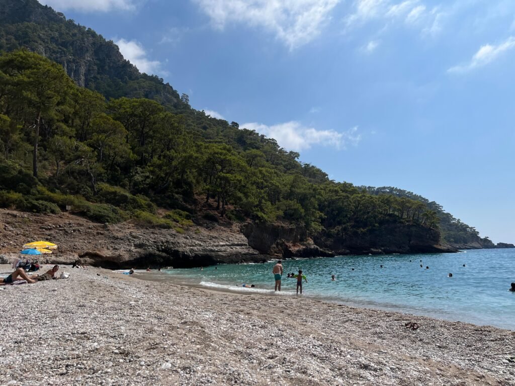
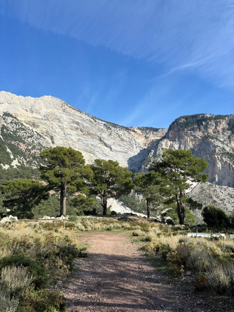
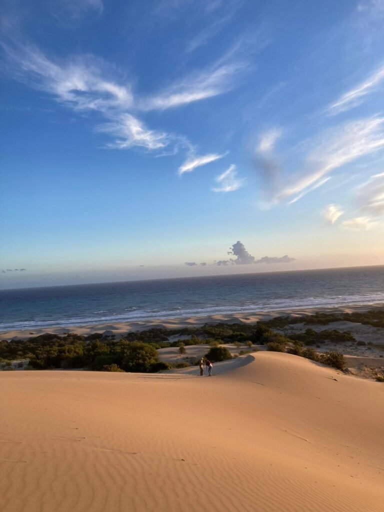
- Rocky mountain ridges with panoramic sea views
- Forest trails shaded by pine and cedar
- Ancient stone-paved roads
- Village paths still used by locals
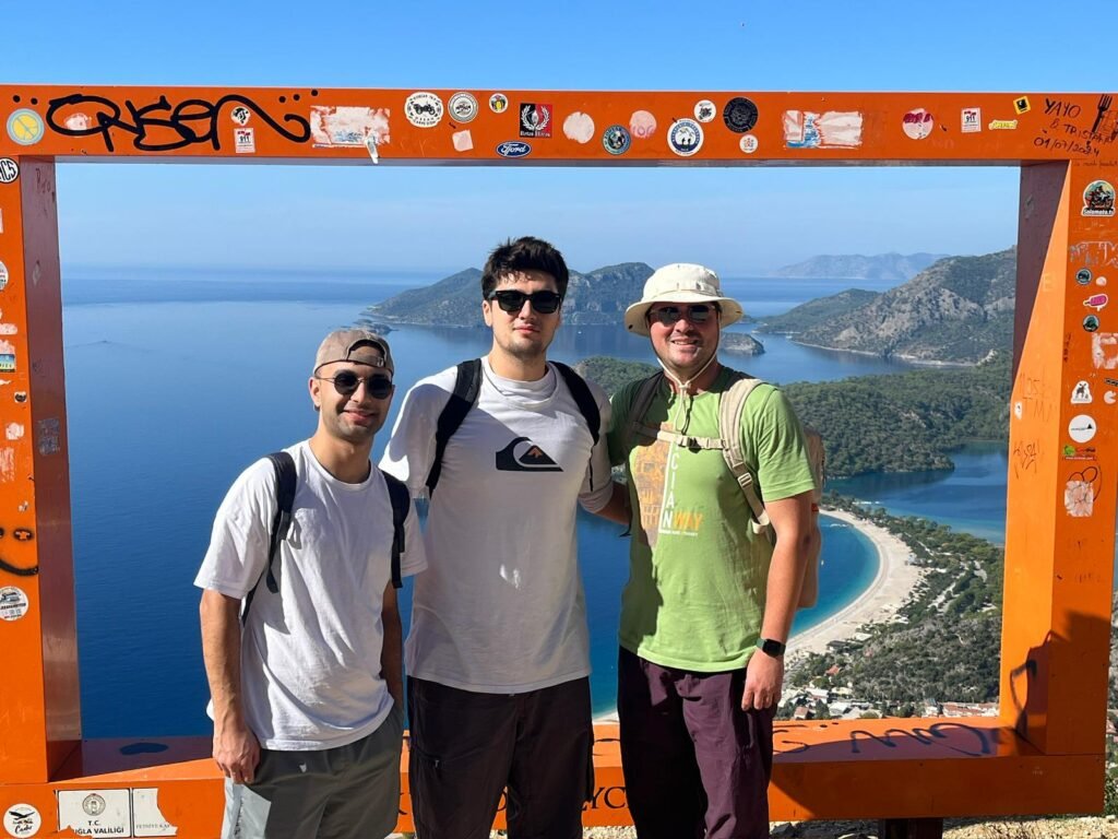
Elevation changes are frequent. Some days involve steep ascents and descents, especially around the Babadağ range near Fethiye and the mountainous stretches before Kaş.
Archaeological Highlights Along the Trail
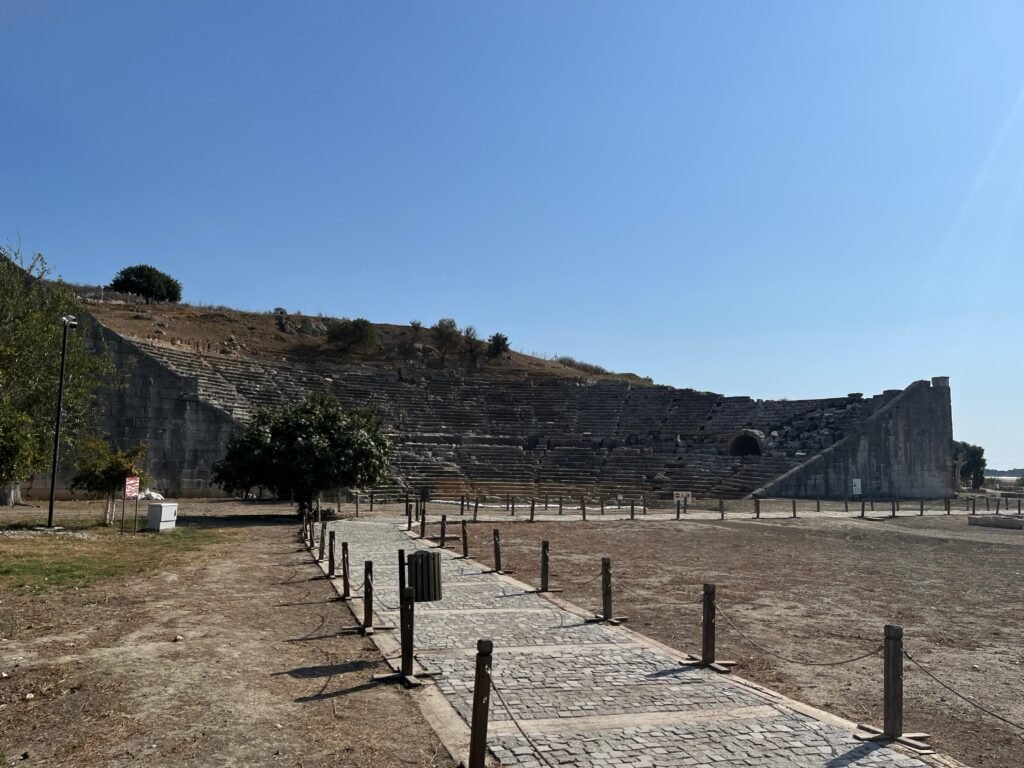
One of the defining features of the Lycian Way is its integration with ancient sites. You do not “visit” ruins separately — you encounter them naturally along your hike.
Key archaeological stops include:
- Xanthos – the former Lycian capital and a UNESCO World Heritage Site
- Patara – once a major Roman harbour and birthplace of St. Nicholas
- Myra – known for its monumental rock-cut tombs
- Olympos – a coastal city reclaimed by vegetation
The Lycian rock tombs are particularly distinctive. Carved high into cliffs and designed to resemble wooden houses, they reflect the Lycian belief in elevated burials and status representation.
Walking through these sites without crowds — sometimes completely alone — is one of the most powerful aspects of the journey.
Best Time to Walk
Spring (April–June)
- Wildflowers in bloom
- Clear visibility
- Moderate temperatures
Autumn (September–November)
- Warm sea temperatures
- Fewer hikers
- Stable weather conditions
Summer temperatures can exceed 35°C on exposed sections, making long hiking days difficult. Winter is possible but rainy, and some village accommodations close seasonally.
Planning Your Hike
Full Route
- Duration: 25–35 days
- Requires logistical planning
- Suitable for experienced trekkers
Section Hiking (Most Popular Option)
Many travellers walk 3–7 day segments. Popular sections include:
- Fethiye to Kabak
- Kaş to Demre
- Patara to Kalkan
Luggage transfer services are available in some areas, allowing lighter daypacks.
Accommodation and Logistics
Accommodation ranges from:
- Village pensions
- Family-run guesthouses
- Boutique hotels in coastal towns
Camping is possible in many sections, though water planning is essential during dry months.
Waymarking is generally reliable (red-and-white stripes on rocks and trees), but carrying a GPS map or guidebook is strongly recommended.
Nearest airports:
- Dalaman Airport (for western sections)
- Antalya Airport (for eastern sections)
Fitness and Preparation
The Lycian Way does not require technical climbing skills. However:
- Expect uneven terrain
- Bring proper hiking shoes
- Carry sufficient water (especially between villages)
- Be prepared for limited phone signal in remote stretches
Daily distances vary between 12–25 km depending on section and elevation.
Why It Continues to Grow in Popularity
In recent years, global interest in sustainable and slow travel has contributed to the trail’s rising visibility. Unlike heavily commercialised European routes, the Lycian Way still offers:
- Minimal infrastructure in remote areas
- Direct interaction with rural communities
- Strong historical depth
- Dramatic coastal scenery
Its balance between accessibility and authenticity is what makes it stand out internationally.
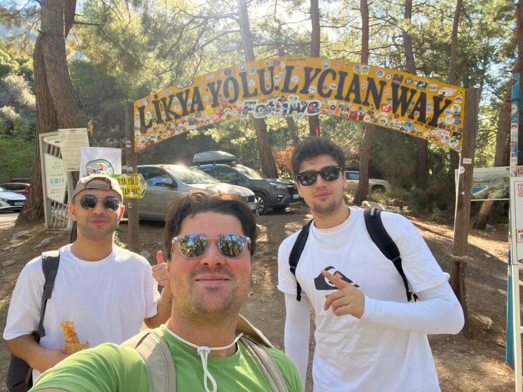
Want to walk with us?
If you are considering walking the Lycian Way and would like professional assistance in planning your journey, we would be pleased to help.
Reach out to us to request a sample itinerary, check seasonal availability, discuss private or small-group options, receive practical advice before booking flights and etc.
Our team will respond promptly and guide you through every step of the planning process.